Advice on Garmin BlueCharts?
Question:
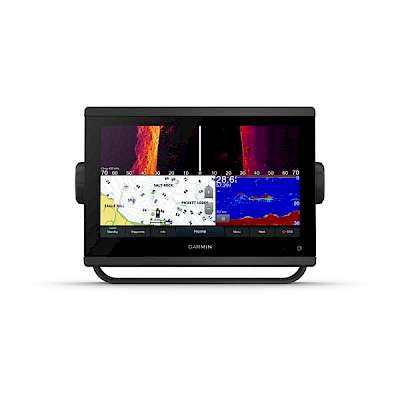
During my research I noticed that Garmin has their own set of maps, but Simrad and others accept other map cards. How are the Garmin maps for our region? Have you heard any complaints about accuracy or detail for west coast waters?Answer:
You are right, Garmin creates and uses its own set of vector charts. No other company creates its own and hence they use a 3rd party like Navionics or C-Map for the cartography.
All charts will have the same level of accuracy. The main difference is the look and feel of the vector charts from one manufacturer to another. To be quite honest, I have never heard of a client choosing cartography, for instance: Garmin Bluecharts or Navionics as a variable of any importance. In my opinion, you will be quite pleased with either of them.
We have hundreds of clients with Garmin Bluechart cruising our waters and I’ve never heard of one complaint on the level of accuracy for charts anywhere.


 $1,779.99
 $1,251.00

