


GPS + GLONASS = Navigation Perfection?
Used worldwide, the generic term for satellite navigation systems with global coverage is Global Navigation Satellite System (GNSS) often referred to as GPS by boaters. There are a number of different GNSS systems in operation, such as BeiDou/Compass (China), IRNSS (India), Galileo (Europe) and QZSS (Japan). For boaters, in the Pacific Northwest, we are going to look at two in particular, GPS (USA) and Glonass (Russia).
The Global Positioning System (GPS) was created in the USA with 31 satellites and two levels of security, Precise Positioning Service (PPS) for military and Standard Positioning Service (SPS) for everyone else. The Globalnaya Navigazionnaya Sputnikovaya Sistema (GLONASS) is a radio-based satellite navigation system developed in the Soviet Union with 24 satellites. Both of these space-based global navigation satellite constellations use signals sent to earth from multiple satellites that analyze how far the receiver is from the satellite to give location data. There are 31 GPS satellites to ensure that 24 GPS satellites are operational at all times. Glonass has 24 satellites orbiting the earth that are inclined to a higher angle providing better coverage at higher latitudes such as the polar regions.
Originally marine manufacturers used only GPS. The implementation of Glonass for recreational users has been a huge step in maritime navigation. Manufacturers are now able to use GPS + Glonass which allows navigation devices to access all 55 satellites. Combining the two systems offers a faster fix and better accuracy. Two GNSS systems also provide redundancy if one goes down and, if both position fixes are the same, there is a better chance of accuracy. GPS + Glonass is also being used in cars, in smart devices, and sport watches. Sometimes referred to as “assisted” or A-GPS and A-Glonass.
Garmin GLO takes signals from both GPS and Glonass. It connects wirelessly to many Bluetooth enabled smart devices, BlueChart Mobile, and Fishing My-Cast. This allows GLO to lock on to satellites approximately 20% faster and remain connected even at high speed. The Bad Elf 2300 Bluetooth GPS + Glonass receiver and data logger adds barometric readings for boaters with the built-in barometric sensor. The advanced USB connectivity allows streaming of NMEA data directly to your device and adds easy access to recorded data logs just like a thumb drive.
Can I add an antenna to my existing chartplotter? If you currently have a GPS only chartplotter, most manufacturers are now offering a GPS/Glonass antenna such as the Garmin GA 38, the Furuno GNSS receiver, or the B&G ZG100. DualNav, the GPS/Glonass antenna from Digital Yacht, is a positioning sensor that automatically switches between the two systems. DualNav utilises the industry standard NMEA data format allowing older chart plotters as well as current generation products to take advantage of this new technology. It also allows the user to select a variety of different NMEA baud rates (4800, 38400 and 115200) to allow interfacing with legacy and newer systems. As an added feature for racers, it also supports a new TurboNav™ mode where GPS/GLONASS data is output at 10Hz and with an interface speed of 115200 baud which is 24 x the speed of normal NMEA 0183 data. This improves slow speed navigation data as well as providing the best course and speed data in navigation situations.
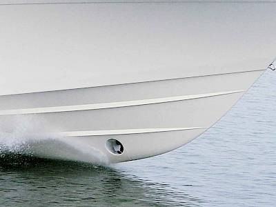
Next time you are at your boat, check the “settings” menu and determine which type of antenna your navigation equipment is accesssing. Situational awareness on the water saves lives. No doubt about it. Having the ability to access two sophisticated satellite systems just makes sense.
About the author: Jeff Cote is the owner of Pacific Yacht Systems, a full service shop delivering marine electrical and navigation solutions for recreational boats. Visit their website and blog for info and articles on marine electrical systems, projects and more: www.pysystems.ca.
Related Content


![]()
Copyright © 2024 Pacific Yacht Systems.